Scanned topos

Topographic maps
Find topos FAST. Use these interfaces to tell you which topos the Library owns, or to look at scans of those topos.
- Discovery interface to maps of the world at scales 1:20,000 to 1:150,000 owned by the Arthur Lakes Library
- Discovery interface to maps of the world at scales 1:200,000 to 1:250,000 owned by the Arthur Lakes Library
- Discovery interface to scanned maps of the world at scales 1:50,000 to 1:125,000
- Discovery interface to scanned maps of the world at scales 1:200,000 to 1:253,440
Topos in the Library
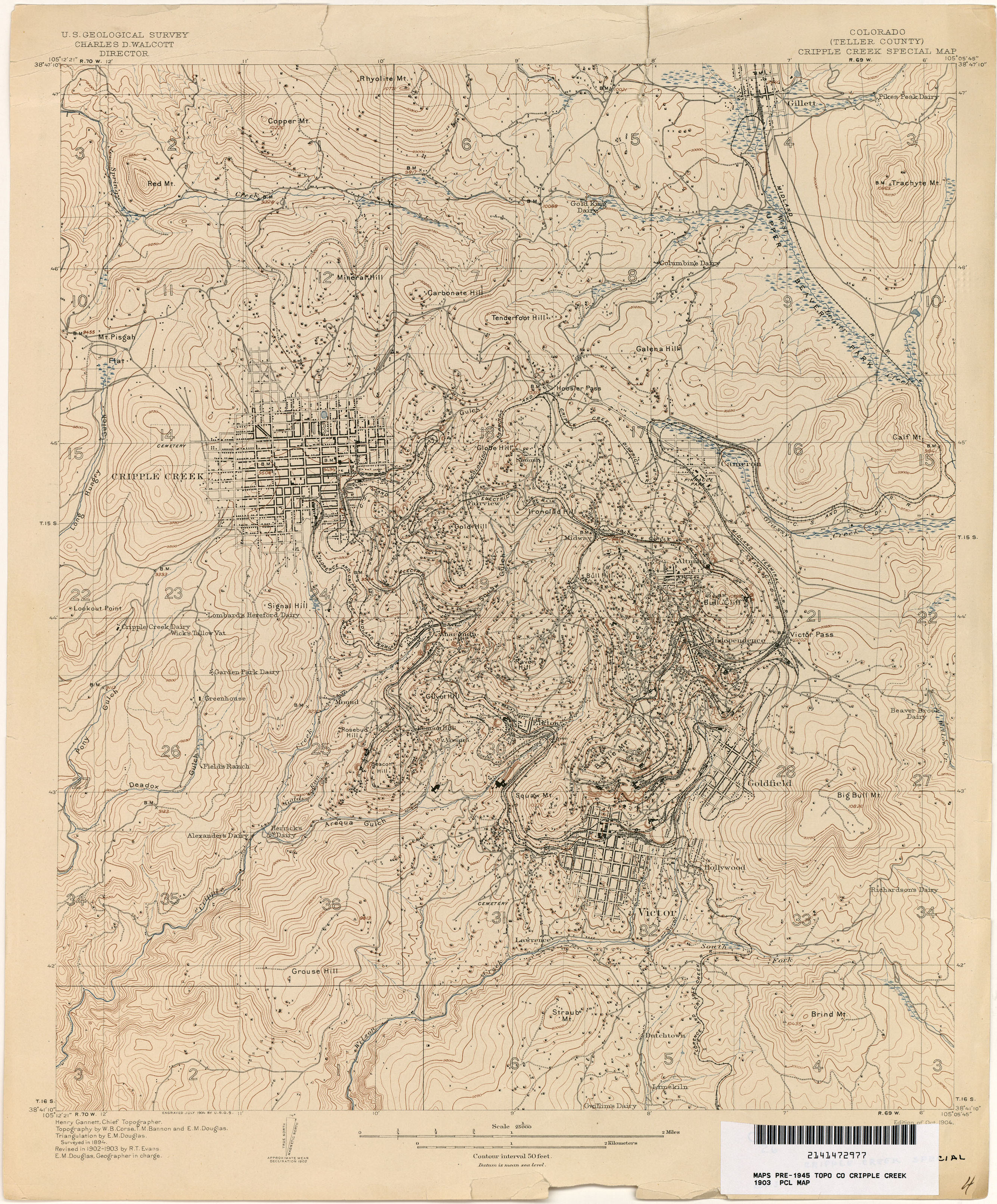
The Map Collection contains a large number of topographic (topo) maps including an extensive collection of historic maps of Colorado.
USA:
The Library has complete sets of topographic maps produced by the US Geological Survey (USGS) at a scale of 1:24,000 (the most detailed maps available for complete coverage, and often called "quadrangles" or "7.5 minute sheets") of the following states: Colorado, Arizona, New Mexico, Utah, Wyoming. These topos are segregated to one side of the Map Collection and are filed first by state, then by name of sheets. Indexes to these maps can be found in the green booklets on top of the topo map cases. The Library has topographic, although not complete, coverage of the above listed states at scales of 1:31,680, 1:62,500, 1:125,000, and 1:250,000. The Library has complete sets of topographic maps of the entire United States produced by the USGS at a scale of 1:100,000, and 1:250,000.
WORLD:
We strive to have complete topographic coverage of South America, Africa, and parts of Asia. Accordingly, the Library has good coverage at 1:500,000, some coverage at 1:250,000, and spotty coverage at 1:50,000. The Library has created interactive indexes to world topographic maps.
- Discovery interface to maps of the world at scales 1:20,000 to 1:150,000 owned by the Arthur Lakes Library
- Discovery interface to maps of the world at scales 1:200,000 to 1:250,000 owned by the Arthur Lakes Library
- Discovery interface to scanned maps of the world at scales 1:50,000 to 1:125,000
- Discovery interface to scanned maps of the world at scales 1:200,000 to 1:253,440
Additional indexes to all the world topographic sheets have been created and placed in binders on top of the map cases. The indexes are ordered by continent, then by country.
Online topographic & nautical maps:
- The National Map -- U.S. Topo by U.S. Geological Survey (USGS) -- Up-to-date official topographic maps from USGS.
- Historic U.S. Geological (USGS) topographic maps – FREE scans of all maps at all scales. Files are huge but very detailed and clear.
- CalTopo -- interactive topographic maps of the United States using USGS data.
- Open Street Map of the World -- Open source topographic maps of the world
- Atlas of Canada -- Toporama -- Up-to-date official topographic maps from Natural Resources Canada.
- Online topographic map collections at the University of Texas, Austin -- scanned of selected topographic maps other countries.
- CartoMundi has scanned more than 6,500 (mostly) topographic maps of world. The website is in French but has an English button. Most of the maps are in French.
